Traceable methods
Formulas, assumptions, units, source revisions, and engine versions stay connected to results.
Roadway engineering software
VeriCivil makes focused software for roadway engineers and inspectors: browser-based engineering tools and RoadStation for iPhone. Each tool keeps its assumptions and limits in view.
VeriCivil products
RoadStation by VeriCivil helps roadway engineers and inspectors read approximate station and LT/RT offset from supported LandXML alignments. Confirm the project CRS and units, then see the alignment in MapKit context.
Phone GPS is approximate and is not survey-grade.
Explore RoadStation ↗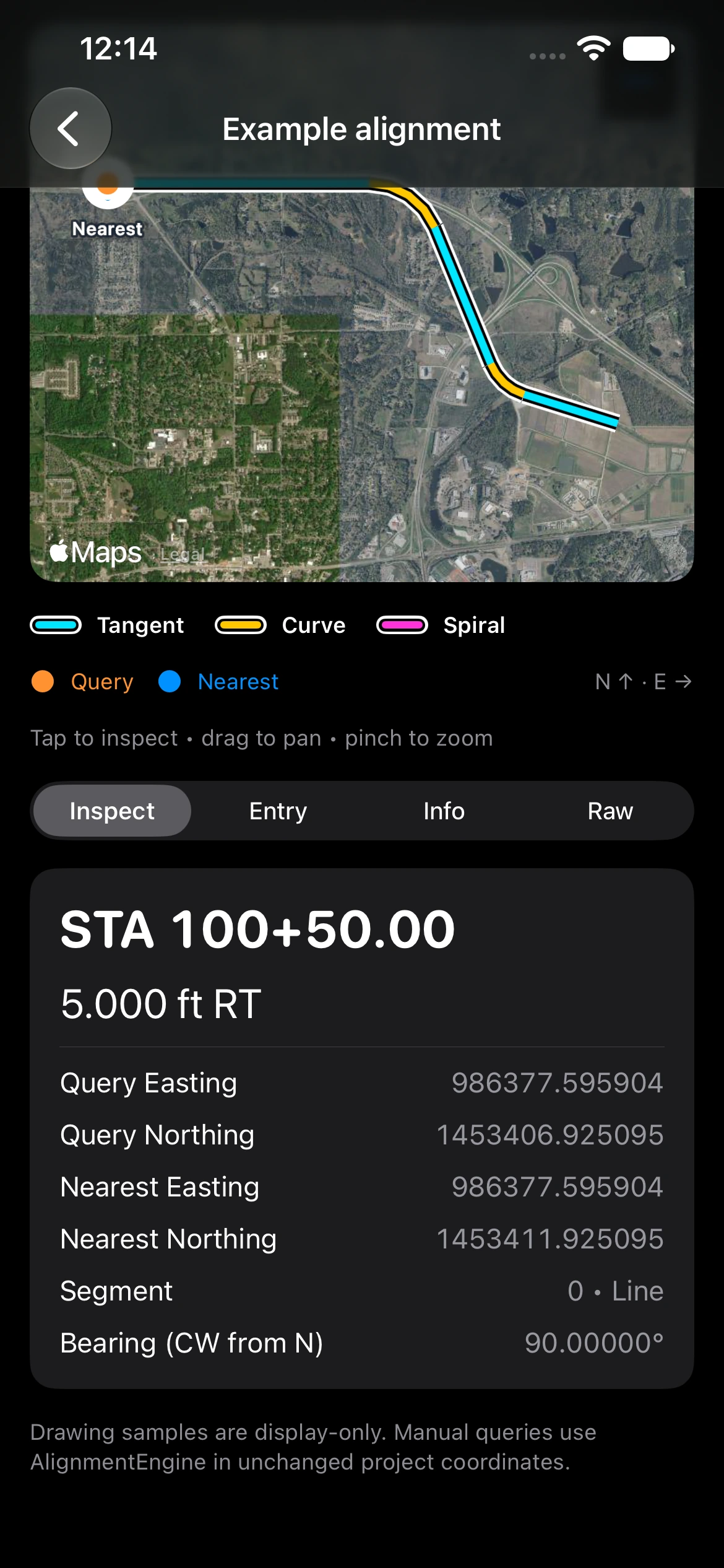 Fictional sample · manual query
Available calculators
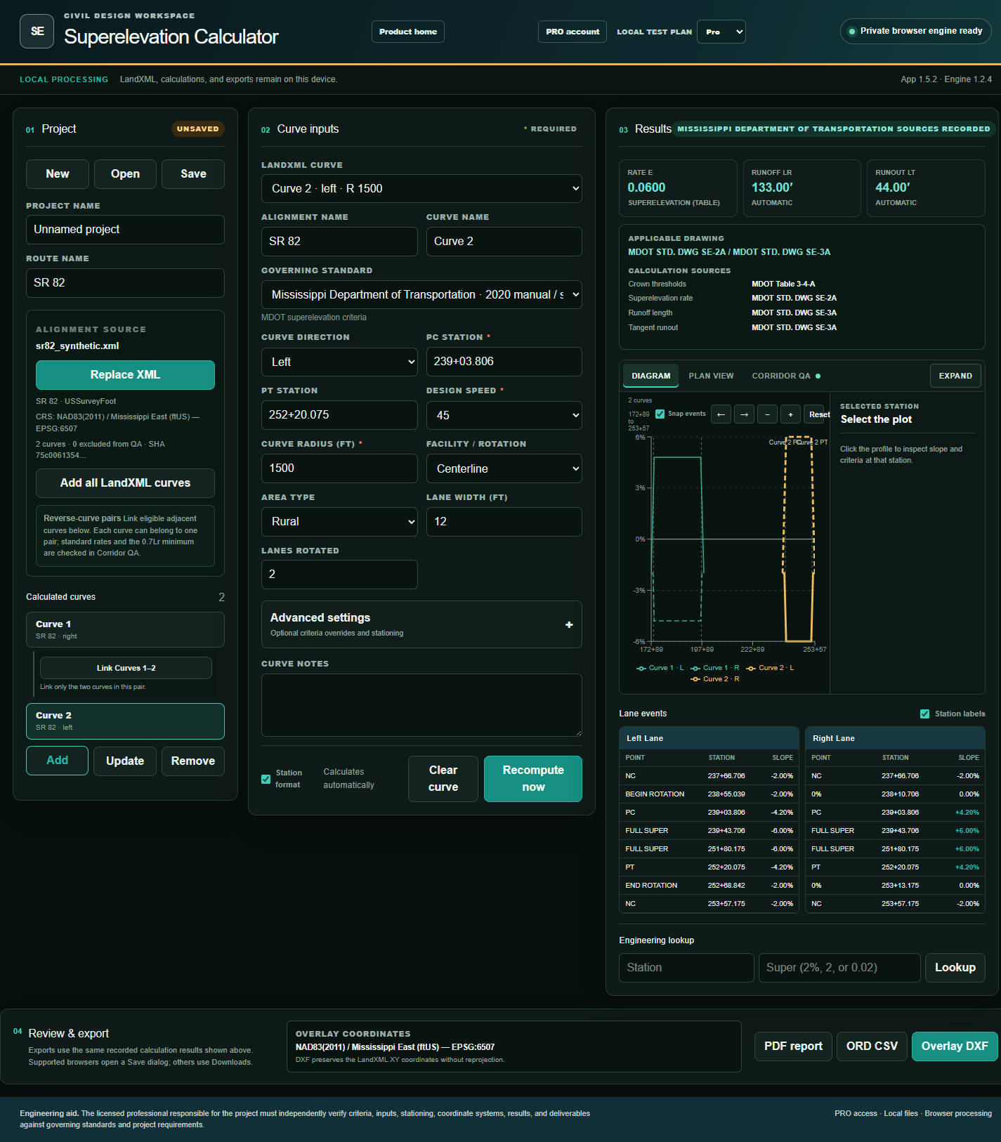
Superelevation is VeriCivil’s professional design workspace. Supporting tools stay fast, focused, and free where noted.
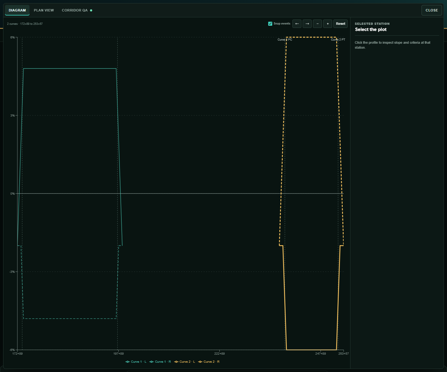
Calculate roadway superelevation transitions, review lane slopes, and create traceable engineering exports.
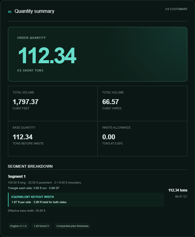
Estimate compacted roadway base volume and order tonnage across multiple construction segments.
Featured professional workflow
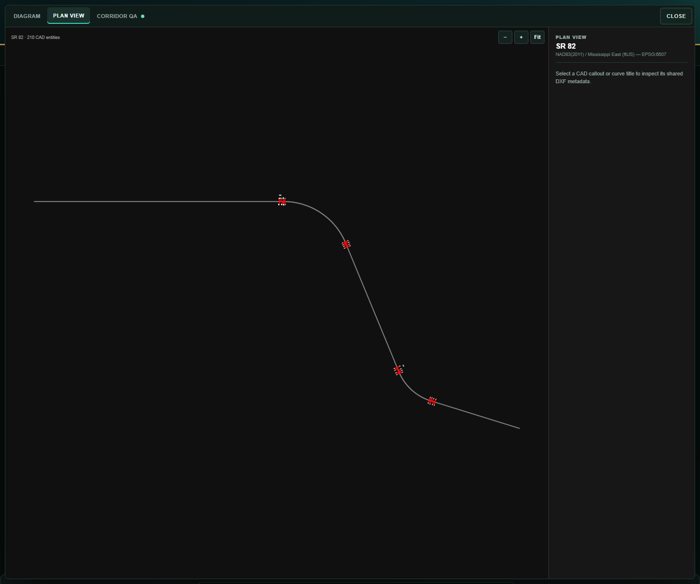
The original VeriCivil application remains the professional workspace for roadway transitions, LandXML corridors, lane-by-lane QA, and CAD-ready exports.
Explore Superelevation ↗Built for verification
Formulas, assumptions, units, source revisions, and engine versions stay connected to results.
Browser calculations run on your device. RoadStation keeps imported alignments and saved projects on your iPhone.
From design exports to field station and offset, each product focuses on a practical roadway task.
Superelevation Pro
Manage Superelevation Pro for LandXML, multi-curve projects, supported DOT profiles, PDF, ORD CSV, and overlay DXF exports.
The licensed professional responsible for the project must independently verify criteria, inputs, assumptions, stationing, coordinate systems, results, quantities, and deliverables.